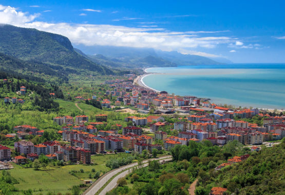
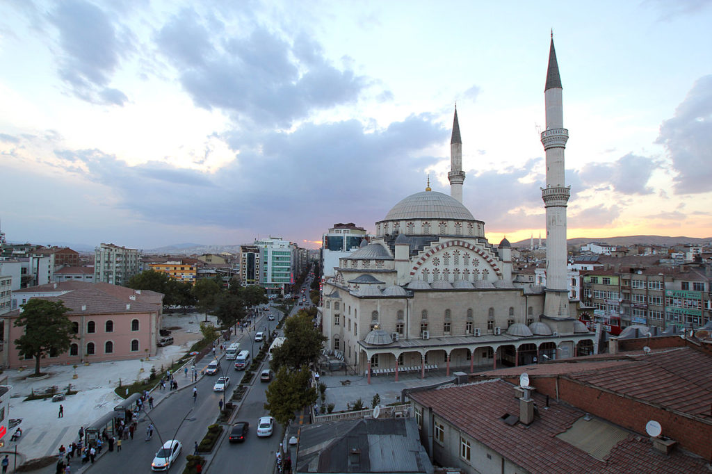
Elazığ, formerly Mamuretülaziz, is a city in Eastern Anatolia, Turkey, and the administrative centre of Elazığ Province. It is located in the uppermost Euphrates valley. The plain on which the city extends has an altitude of 1,067 metres (3,501 ft). Elazığ resembles an inland peninsula surrounded by the natural Lake Hazar and reservoirs of Keban Dam, Karakaya Dam, Kıralkızı and Özlüce.[4]
Elazığ initially developed in 1834 as an extension of the historic city of Harput, which was situated on a hill and difficult to access in winter.
Alacaya, Arıcak, Ağın, Baskil, Central, Karakoçan, Keban, Kovancılar, Maden, Palu and Sivrice are named districts.
It is known as the continuation of the city of Harput, which was founded in 3000 BC, on the plain. As a result of the Battle of Malazgirt Meydan was dominated by the Turks. In 1085 in Elazığ, the Beylik of Çubukoğulları was established as a part of the Great Seljuk State.
Atatürk, 1937 granary of abundance and abundance in the name of El’azık, but in time to fit the sound harmony of the Turkish and the correct use of the pronunciation has been used as Elazığ.
Elazig is located in the Upper Euphrates Department in the southwest of the Eastern Anatolia region. Elazığ has a terrestrial climate. But with the construction of dams, a temperate climate was formed.
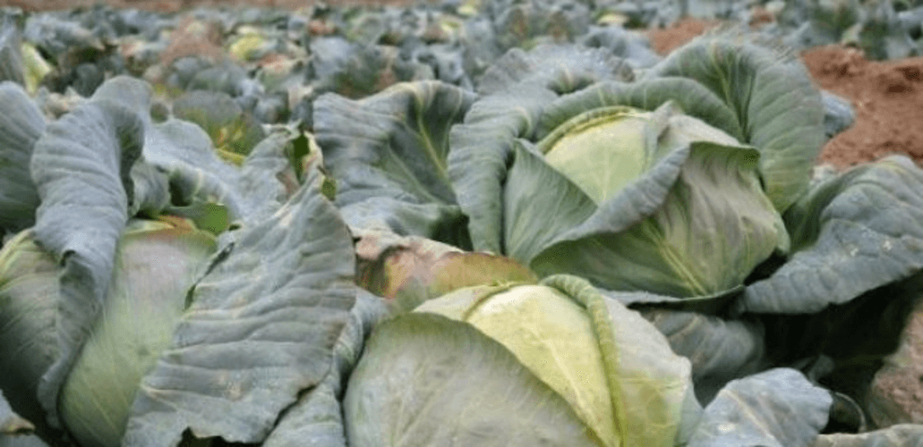
It has an economy based on agriculture, industry and trade. Elazığ Plains are very fertile. Cabbage, melons and strawberries are the most important sources of income in agriculture.
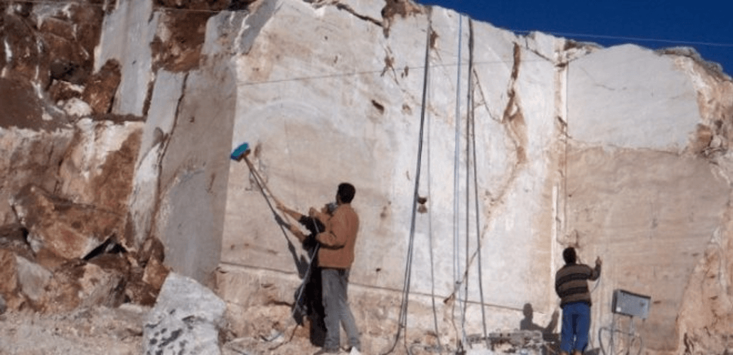
Mining is very well developed in Elazığ. There are mineral resources such as copper, chromium, silver-lead, and concrete.
Culture and art are also important in Elazığ. Every year since 2008 Çıra Çıra Film Festival has been held.

It has an important place in terms of winter tourism. Hazarbaba Ski Resort is home to those who love this sport every winter.
Elazığ landforms and information
Peri Creek: it is one of the most important tributaries of the Murat River. Peri tea, which flows an average of 100-200 m3su per second, arises from The Devil mountains of Bingöl. It merges with the Munzur water coming out of the Munzur mountains.
Hazarbaba Mountain: 2347 m in the south of our province. winter sports can be carried out on Hazarbaba Mountain at its height.
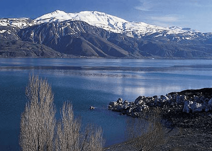
Lake Caspian: Province G.25 km to the east. at a distance, a tectonic Lake, 1250 mt from the Sea. The length of the lake at an elevation of is about 22 Km. the widest place is 5-6 Km. the area is 86 km2.the depth of the lake is 200-250 m.
Infinitive Mountain: infinitive Mountain is 2140 meters high in the north of Caspian Lake.